
Category
maps
37 record(s)
Type of resources
Available actions
Topics
Keywords
Contact for the resource
Provided by
Years
Formats
Representation types
Update frequencies
Status
Scale
panaceaKeywords
GEMET keywords
-
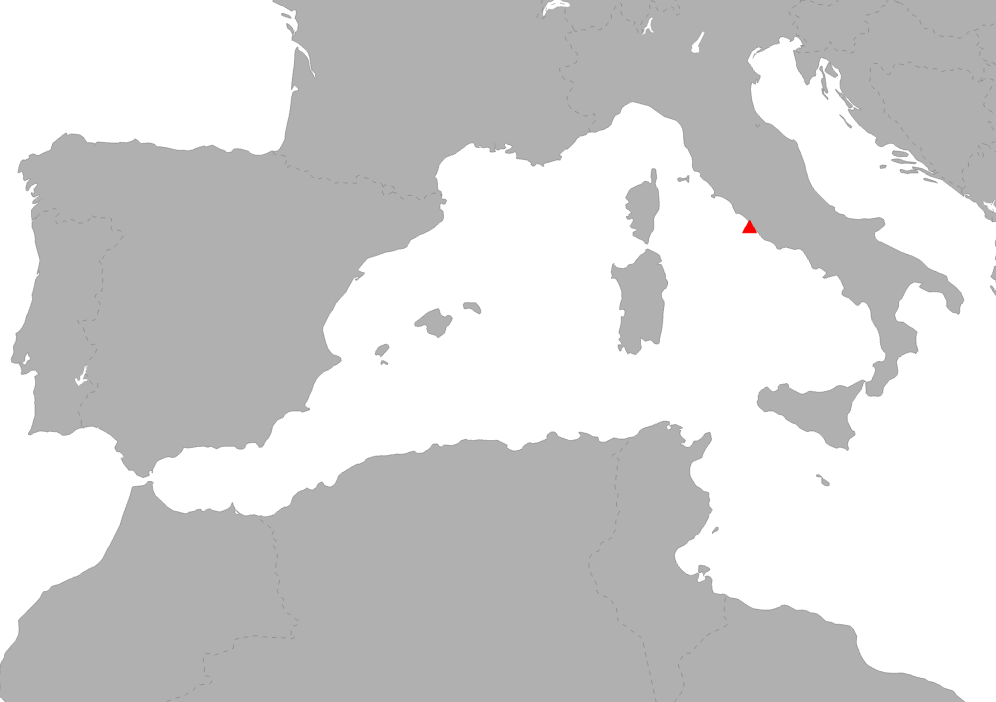
POSBEMED is a Study Project of the biodiversity protection community funded by the Interreg Med Programme. The POSBEMED project deals with "Sustainable management of the systems Posidonia-beaches in the Mediterranean region". The POSBEMED project is addressing topics as GIS database on posidonia meadows, touristic activities and Pas, guidelines for sustainable beach and stranded seagrass management, strategy and action plan for Mediterranean regions and Benchmarking study on management practices for posidonia banquettes/beaches are addressed. This specific map represents the municipalities distribution where the questionnaire on the perceptions about Posidonia banquettes on Mediterranean beaches has been realized.
-
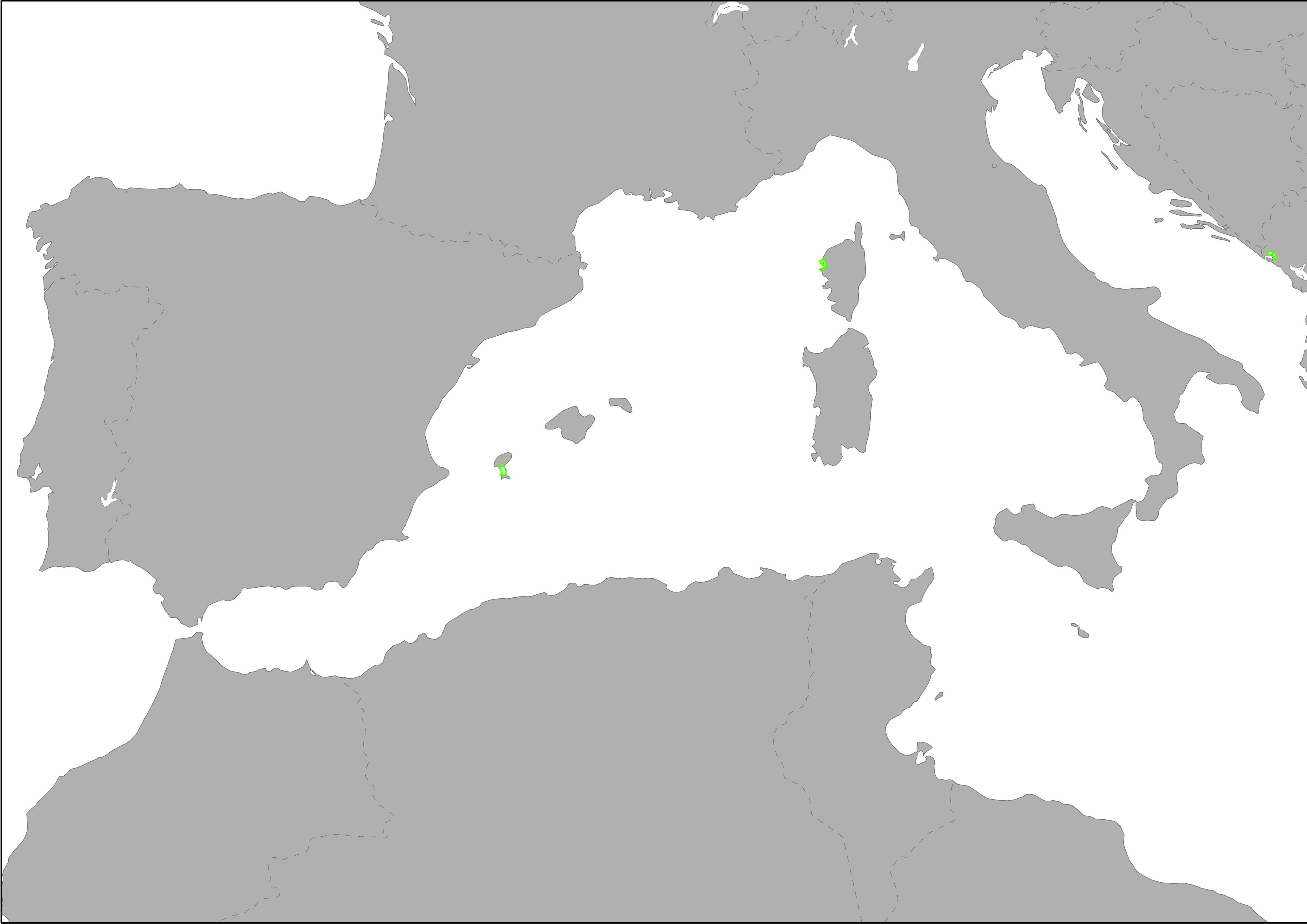
The layer shows type and location of pilot sites involved in PlasticBusters MPAs project. PlasticBusters MPAs is an Integrated territorial Project of the biodiversity protection community funded by the Interreg Med Programme. The PlasticBusters MPAs project deals with preserving biodiversity from plastics in Mediterranean Marine Protected Areas,
-
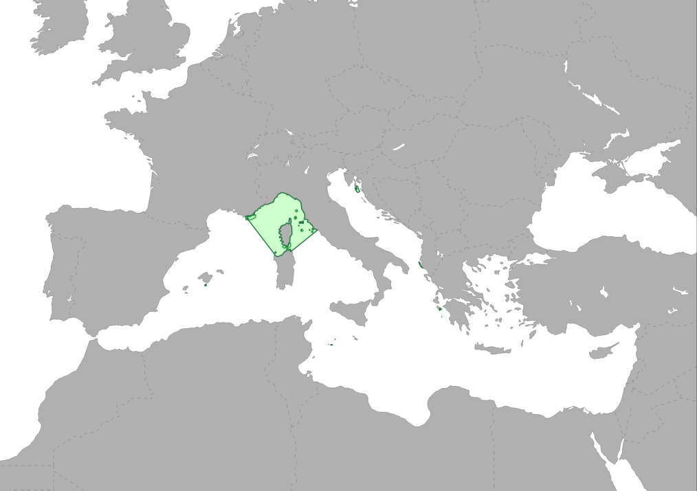
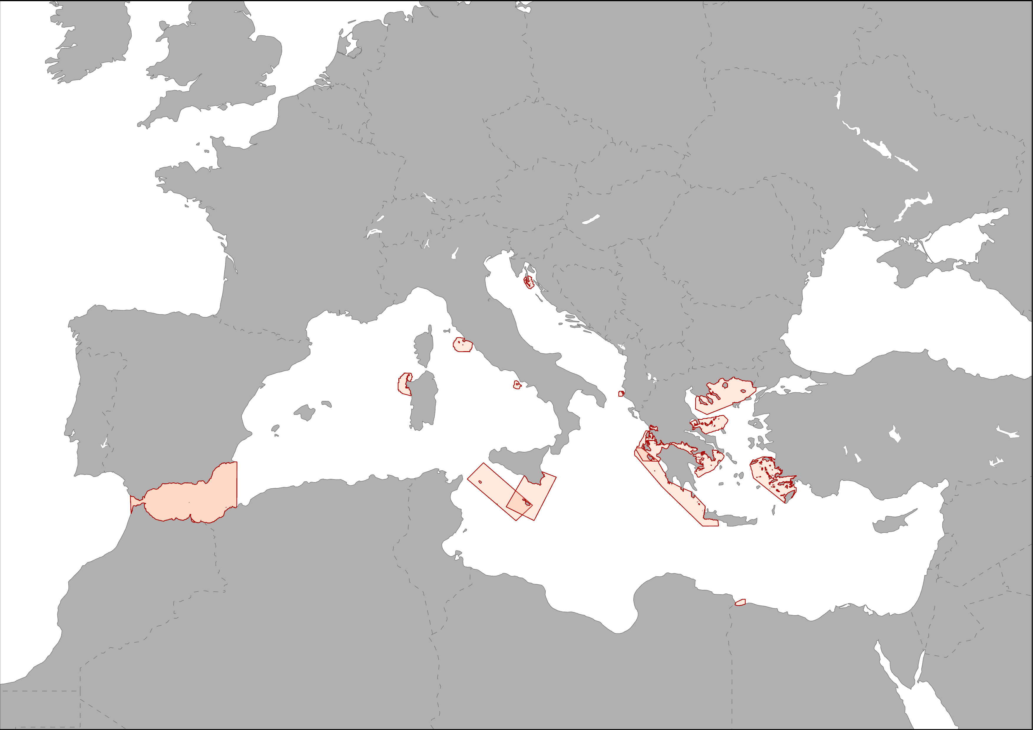
Med-IAMER project covers two main regions: the Western Mediterranean, including the Alboran Sea, as one study area and the Adriatic and Ionian Sea as the other study area. Both areas are represented by the boundaries defined by the Marine Ecoregions of the World (MEOW, Spalding et al. 2007). The ecoregion concept has been used for as these boundaries best represent the ecological differences in the Mediterranean.
-
The map shows the distribution of ship alerts and accidents along the Mediterranean Sea, between 2008 - 2014. This point layer represent the location of ship accidents registered in the database of the Mandate of the Regional Marine Pollution Emergency Response Centre for the Mediterranean Sea (REMPEC). Database includes accidents that caused pollution by oil or other hazardous and noxious substances (HNS), or were likely to cause it.
-
Rivers acts as a pathway for mismanaged waste to reach the sea. Results of the monitoring in the Fiumicino canal (Tiber river-Italy), estimated that 85.4 (± 9.4) litter items get into the sea each hour, with approximately 30% of which were already fragmented. Within the Medsealitter project, a surface density at the river mouth of approximately 1,270 litter items >2.5 cm and 190 litter items >20 cm per km2 was extrapolated. The percentage of the materials found is the following: Artificial polymer materials 82%; Cloth/Textiles 1%; Metal 3%; Paper/Cardboard 8%; Processed/worked wood 1%; Rubber 5%. Study reference: "Down to the river: amount, composition, and economic sector of litter entering the marine compartment, through the Tiber river in the Western Mediterranean Sea." (DOI: 10.1007/s12210-018-0747-y). Rendiconti Lincei. Scienze Fisiche e Naturali
-

The map shows the distribution of main passengers transport ports in the Mediterranean Sea. Ports are classified in groups according to its level of activity.
-
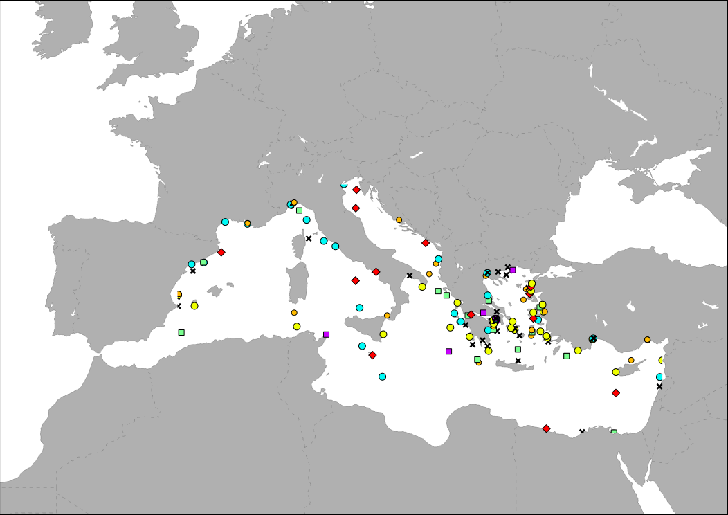
Heritage is our legacy from the past, what we live with today, and what we pass on to future generations. Our cultural and natural heritage are both irreplaceable sources of life and inspiration. The United Nations Educational, Scientific and Cultural Organization (UNESCO) seeks to encourage the identification, protection and preservation of cultural and natural heritage around the world considered to be of outstanding value to humanity. This is embodied in an international treaty called the Convention concerning the Protection of the World Cultural and Natural Heritage, adopted by UNESCO in 1972. What makes the concept of World Heritage exceptional is its universal application. World Heritage sites belong to all the peoples of the world, irrespective of the territory on which they are located. The natural marine heritage is recollected into MAPAMED which is a cartographic database of key information on Mediterranean Marine Protected Areas (MPAs) potential Other Effective área-based Conservation Measure (OECMs), and more broadly on sites of interest for marine conservation. It is developed and administered jointly by UNEP/MAP-SPA/RAC and the MedPAN Association. For detailed information, please consult the MAPAMED user manual (April 2021 version).
-
ACCOBAMS is working on the identification of new relevant of Cetaceans Critical Habitats (CCH) in the ACCOBAMS area, in order to propose appropriate threats management or spatial management measures. The identification is based on the overlapping of areas of interest for Marine Mammals (IMMAs) and mapping of anthropogenic threats. These areas are recollected into MAPAMED which is a cartographic database of key information on Mediterranean Marine Protected Areas (MPAs) potential Other Effective área-based Conservation Measure (OECMs), and more broadly on sites of interest for marine conservation. It is developed and administered jointly by UNEP/MAP-SPA/RAC and the MedPAN Association. For detailed information, please consult the MAPAMED user manual (April 2021 version).
-
The EBSAs are special areas in the ocean that serve important purposes, in one way or another, to support the healthy functioning of oceans and the many services that it provides. These areas are recollected into MAPAMED which is a cartographic database of key information on Mediterranean Marine Protected Areas (MPAs) potential Other Effective área-based Conservation Measure (OECMs), and more broadly on sites of interest for marine conservation. It is developed and administered jointly by UNEP/MAP-SPA/RAC and the MedPAN Association. For detailed information, please consult the MAPAMED user manual (April 2021 version).
-
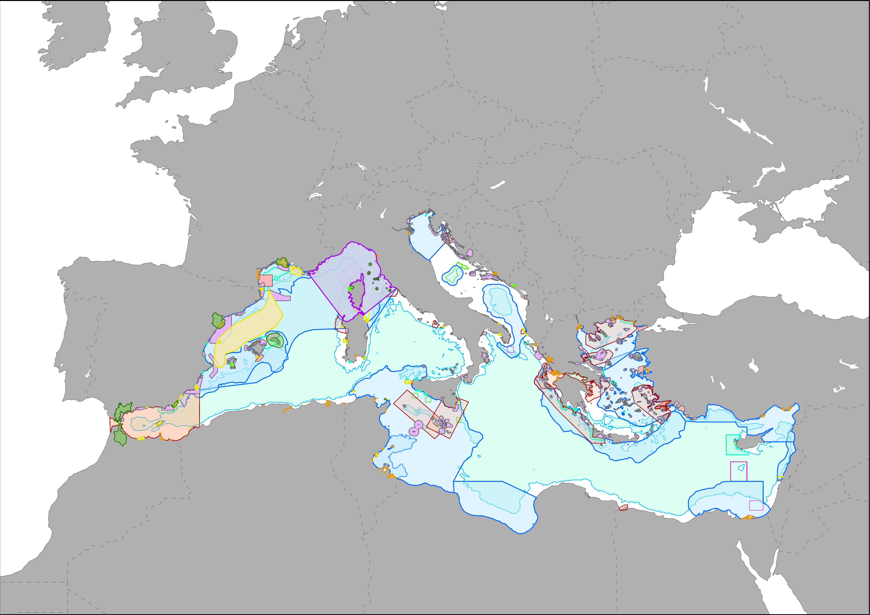
MAPAMED (MArine Protected Areas in the MEDiterranean) is a cartographic database of key information on Mediterranean Marine Protected Areas (MPAs), potential Other Effective area-based Conservation Measure (OECMs), and more broadly on sites of interest for marine conservation. It is developed and administered jointly by UNEP/MAP-SPA/RAC and the MedPAN Association. For detailed information, please consult the MAPAMED user manual (April 2021 version).