
Creation year
2009
1 record(s)
Type of resources
Topics
Keywords
Contact for the resource
Provided by
Years
Formats
Representation types
Update frequencies
Status
Scale
GEMET keywords
-
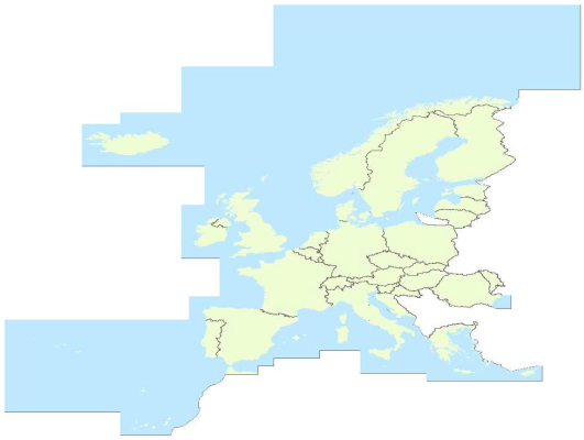
EuroRegionalMap is a Pan-European topographic vector dataset at scale 1: 250000 covering 32 European countries: 26 EU Countries (Bulgaria not included), 4 EFTA countries, the Republic of Moldova and Liechtenstein. It is seamless and harmonized across boundaries.It is a seamless1 and harmonised data and is produced in cooperation by the National Mapping and Cadastral Agencies of Europe, using official national databases. EuroRegionalMap is ideal for a wide range of uses, including cartographic publishing and backdrop visualisation, or in combination with other datasets for marketing planning and socio-economic analysis, environmental analysis, and transport management. Themes: a) Administrative (administrative boundaries, administrative areas) b) Hydrography (well, coastline / shoreline, foreshore, island, sea, aqueduct, lake / pond, reservoir, spring / water hole, waterfall, watercourse, dam / weir, lock, glacier, snow field / ice field, wetland) c) Transportation (railway, interchange of motorways, road, control tower, level crossing, ferry crossing, ferry station, entrance / exit, railway station, vehicle stopping area / rest area, pier / wharf / quay, airport / airfield, heliport, runway) d) Settlements (built-up area, named location)