
Creation year
2018
17 record(s)
Type of resources
Available actions
Topics
Keywords
Contact for the resource
Provided by
Years
Formats
Representation types
Update frequencies
Status
Scale
Resolution
panaceaKeywords
GEMET keywords
-
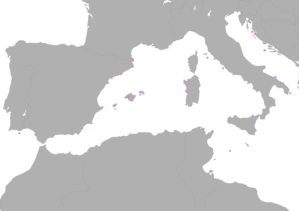
The layer shows type and location of partners involved in MPA-ADAPT project. MPA-ADAPT is a Pilot Project of the biodiversity protection community funded by the Interreg Med Programme. The MPA-ADAPT project deals with “Guiding Mediterranean marine protected areas through the climate change era: building resilience and adaptation”. In this specific pilot site, integrating climate change adaptation into MPA management are addressed.
-
The data set is a secondary product accompanying the terrestrial part of the Ecosystem Type Map 2012 v3.1. It provides supplemental information: • estimated geometric reliability ranging from 1 – 10 (very low to very high) • estimated thematic reliability ranging from 1 – 10 (very low to very high) • Main original LC input data source: - Corine Land Cover - Urban Atlas - Riparian Zones - Natura 2000 (N2k) - High Resolution Layer Forest - High Resolution Layer Grassland - High Resolution Layer Imperviousness - High Resolution Layer Permanent Water Bodies - OpenStreetMap Roads - OpenStreetMap Landuse • MAES Level 2 (Urban, Cropland, Grassland, Woodland and Forest, Heathland and shrub, Sparsely vegetated land, Wetlands, Marine inlets and transitional waters)
-
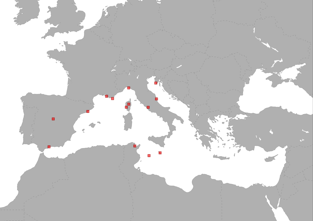
The Interreg Med CONFISH project aims to design a Mediterranean-based network that relies on robust social framework and cutting edge evolutionary science for future implementation of bottom up approach into fishery management. The overarching goal is to promote knowledge transfer between evolutionary scientists and local fishery stakeholders towards sustainable fisheries management Sample area on Aristeus antennatus specie.
-
.PNG)
This dataset represents locations and boundaries of MPAs (National MPAs and Natura 2000 sites) along the Northern coasts of Mediterranean Sea. This dataset has been created based on the respective product of MAPAMED (Marine Protected Areas in the Mediterranean) GIS database that gathers information on marine protected areas of the Mediterranean, and more generally on sites of interest to the conservation of the marine environment (url: http://www.mapamed.org). It is developed and jointly administered by the MedPAN association and RAC / SPA. (http://www.mapamed.org). Coverage is the territory of the following EU countries: Spain, France, Italy, Croatia, Greece, Malta, and Cyprus.
-
The Interreg Med CONFISH project aims to design a Mediterranean-based network that relies on robust social framework and cutting edge evolutionary science for future implementation of bottom up approach into fishery management. The overarching goal is to promote knowledge transfer between evolutionary scientists and local fishery stakeholders towards sustainable fisheries management. Data on sample areas of Octopus vulgaris species.
-
.PNG)
This dataset represents a data compilation of coastal/commercial/touristic activities locations along the Northern coasts of Mediterranean Sea and is composed of different subsets of point occurence data. The dataset was compiled by the Hellenic Centre for Marine Research (HCMR, Institute of Oceanography) in collaboration with the partners of the project "POSBEMED: Sustainable management of the systems Posidonia-beaches in the Mediterranean region". Coverage is the territory of the following EU countries: Spain, France, Italy, Croatia, Greece, Malta, and Cyprus. The dataset produced for the purposes of POSBEMED project is not exhaustive, and its careful use is recommended.
-
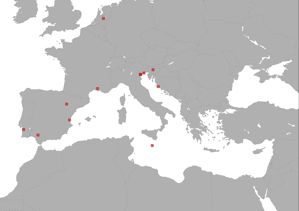
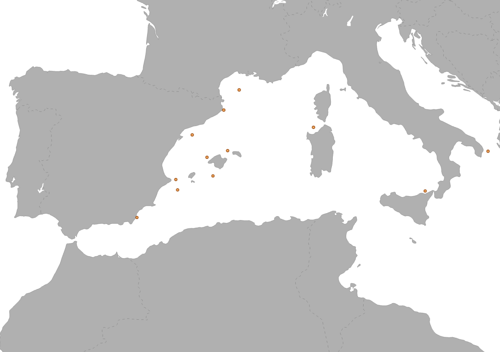
WETNET is a Pilot Project of the biodiversity protection community funded by the Interreg Med Programme. The WETNET project deals with "Coordinated management and networking of Mediterranean wetlands". In this specific pilot site, testing of a governance tool (Wetland Contract) for protected wetland management are addressed. Wetlands in Europa are vulnerable interconnected environments, with important contributions to biodiversity. Their protection intertwines scientific-environmental aspects and governance concerns. WETNET tackles the issue of implementing multilevel governance for MED wetlands in order to improve wetlands ecosystem and their surrounding local systems. The project aims at ensuring higher coordination between different levels of spatial planning and authorities in charge of their management, whilst limiting conflicts between conservation issues and economic activities. By defining common priorities for MED wetlands conservation, WETNET seeks to test and transfer ‘Wetlands Contracts’, acting through broad participatory procees where users, private and public entities are committed in mainstreaming wetland conservation into their daily activities. This project aims to: • Increase the knowledge of Wetlands Contracts effectiveness; • Strengthen existing transnational networks for sharing and disseminating information and good practices on wetlands conservation, The project partnetship involves all authorities and typology of stakeholders operating in the target field. It will allow WETNET to meet the wetlands needs at abroad scale, ensuring the transferability of its results to other EU countries. This data shows type and location of the partners involved in the project.
-
.PNG)
This dataset represents a data compilation of Posidonia oceanica meadows distribution along the Northern coasts of Mediterranean Sea and is composed of different subsets of point and polygon occurence data. The dataset was compiled by the Hellenic Centre for Marine Research (HCMR, Institute of Oceanography) in collaboration with the partners of the project "POSBEMED: Sustainable management of the systems Posidonia-beaches in the Mediterranean region". This dataset shows the distribution of Posidonia meadows in the spatial scale of EEA reference grid 1km. Coverage is the territory of the following EU countries: Spain, France, Italy, Croatia, Greece, Malta, and Cyprus. The dataset produced for the purposes of POSBEMED project is not exhaustive, and its careful use is recommended.
-

PlasticBusters is a Study Project of the biodiversity protection community funded by the Interreg Med Programme. Plastic Busters MPAs focuses on the problem of marine litter in coastal and pelagic Mediterranean MPAs and aims to consolidate knowledge, methods and tools towards achieving good environmental status in the Mediterranean. This data shows type and location of the partners involved in the project.
-
The layer shows type and location of partners involved in EcoSustain project. EcosSustain is a Pilot Project of the biodiversity protection community funded by the Interreg Med Programme. The EcoSustain project deals with “Ecological sustainable Governance of Mediterranean protected areas via improved scientific, technical and managerial knowledge base”. In this specific pilot site, Short-term or Large-term Monitoring system of water quality are addressed.