
Creation year
2019
34 record(s)
Type of resources
Available actions
Topics
Keywords
Contact for the resource
Provided by
Years
Formats
Representation types
Update frequencies
Status
Scale
Resolution
panaceaKeywords
GEMET keywords
-
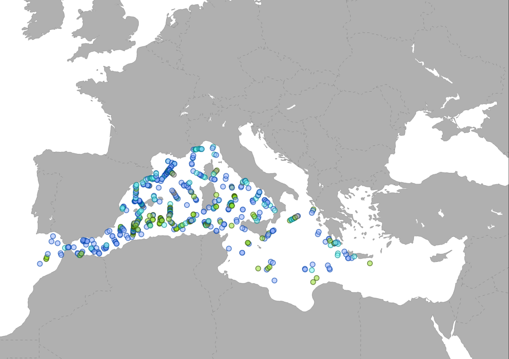
The data collected by a vessel survey organized within the ACCOBAMS agreement, is showing by point different sightings as Cetaceas, turtle, and fishes identified during the ACCOBAMS Survey Initiative (ASI) along the Mediterranean Sea.
-
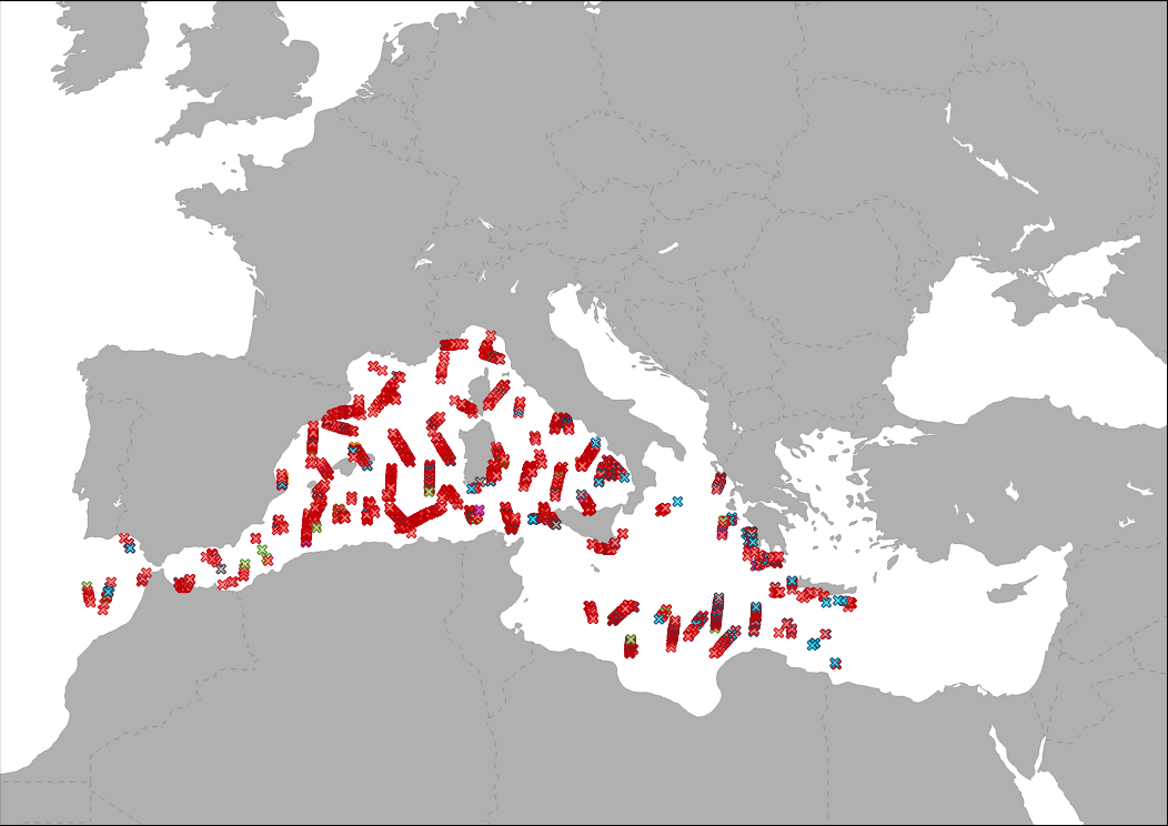
The data collected by a vessel survey organized within the ACCOBAMS agreement, is showing by point different floating rubbish identified during the ACCOBAMS Survey Initiative (ASI) along the Mediterranean Sea.
-
.PNG)
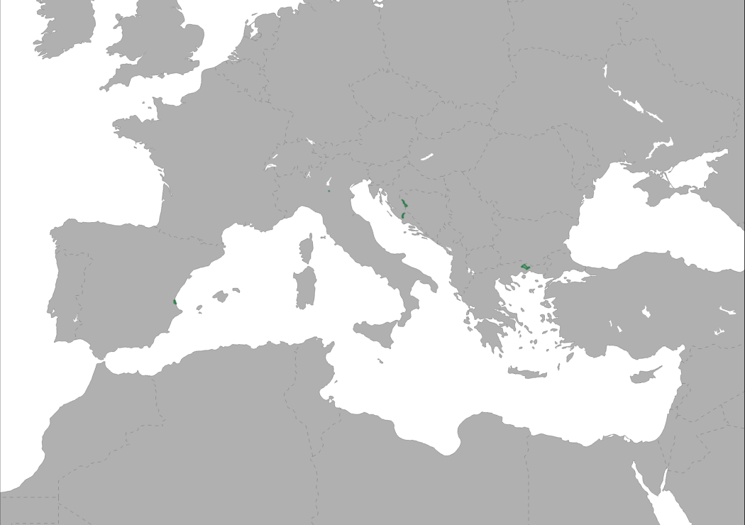
This map represents the geographic distribution of the partners involved in the Interreg MED Biodiversity community of projects (period 2019-2022): BPP (Biodiversity Protection Project), MPA Engage, MPA NETWORKS, POSBEMED2 and TUNE UP.
-
The layer shows type and location of pilot sites involved in ACT4LITTER project. ACT4LITTER is a Study Project of the biodiversity protection community funded by the Interreg Med Programme. The ACT4LITTER project deals with “Joint measures to preserve natural ecosystems from marine litter in the Mediterranean protected areas”.
-
The layer shows type and location of pilot sites involved in EcoSustain project. EcosSustain is a Pilot Project of the biodiversity protection community funded by the Interreg Med Programme. The EcoSustain project deals with “Ecological sustainable Governance of Mediterranean protected areas via improved scientific, technical and managerial knowledge base”.
-
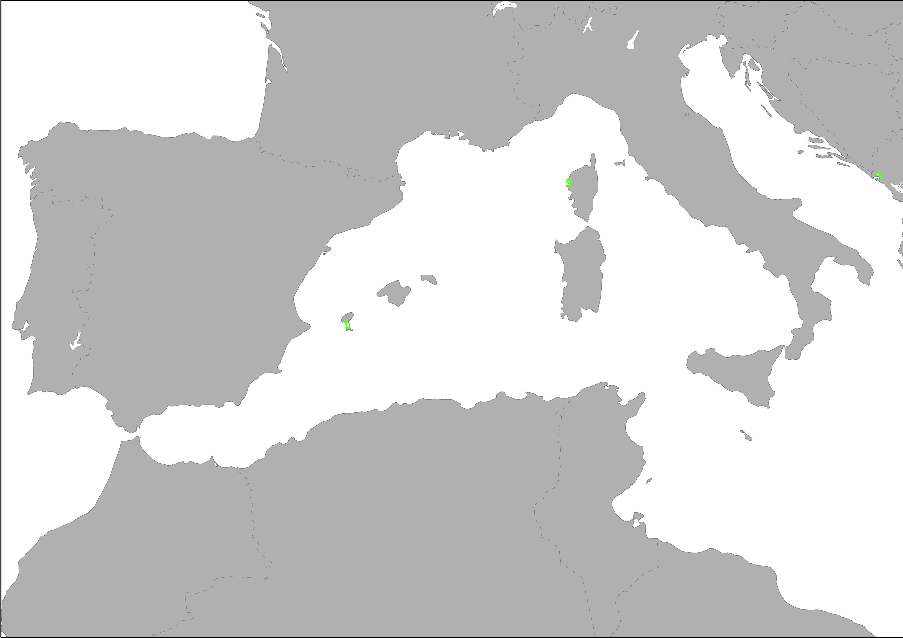
The layer shows type and location of pilot sites involved in AMAre project. AMAre is a Study Project + Pilot Project of the biodiversity protection community funded by the Interreg Med Programme. The AMAre project deals with “Actions for marine protected areas”.
-
.png)
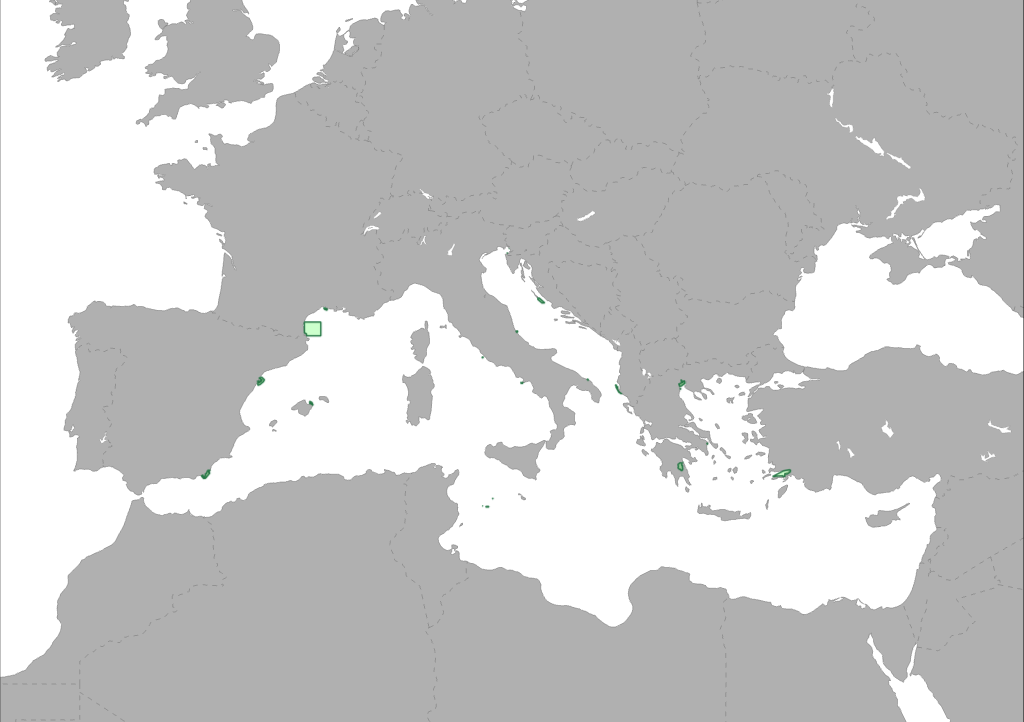
This map represents the geographic distribution of the partners involved in the Interreg MED Biodiversity community of projects (period 2016-2019): ACT4LITTER, AMARE, CONFISH, ECOSUSTAIN, FISHMPABLUE2, MEDSEALITTER, MPA-ADAPT, PANACEA, PHAROS4MPAS, PLASTICBUSTER MPAS, POSBEMED, WETNET.
-
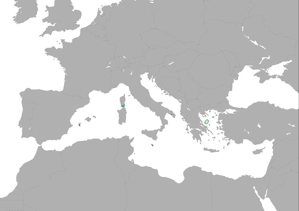
Heritage is our legacy from the past, what we live with today, and what we pass on to future generations. Our cultural and natural heritage are both irreplaceable sources of life and inspiration. The United Nations Educational, Scientific and Cultural Organization (UNESCO) seeks to encourage the identification, protection and preservation of cultural and natural heritage around the world considered to be of outstanding value to humanity. This is embodied in an international treaty called the Convention concerning the Protection of the World Cultural and Natural Heritage, adopted by UNESCO in 1972. What makes the concept of World Heritage exceptional is its universal application. World Heritage sites belong to all the peoples of the world, irrespective of the territory on which they are located. The natural marine heritage is recollected into MAPAMED which is a cartographic database of key information on Mediterranean Marine Protected Areas (MPAs) potential Other Effective área-based Conservation Measure (OECMs), and more broadly on sites of interest for marine conservation. It is developed and administered jointly by UNEP/MAP-SPA/RAC and the MedPAN Association. For detailed information, please consult the MAPAMED user manual (April 2021 version).
-

The layer shows type and location of pilot sites involved in PHAROS4MPAs project. PHAROS4MPAs is a Capitalization Project of the biodiversity protection community funded by the Interreg Med Programme. The PHAROS4MPAs project deals with Blue Economy and Marine Conservation: Safeguarding Mediterranean MPAs in order to achieve Good Environmental Status.
-
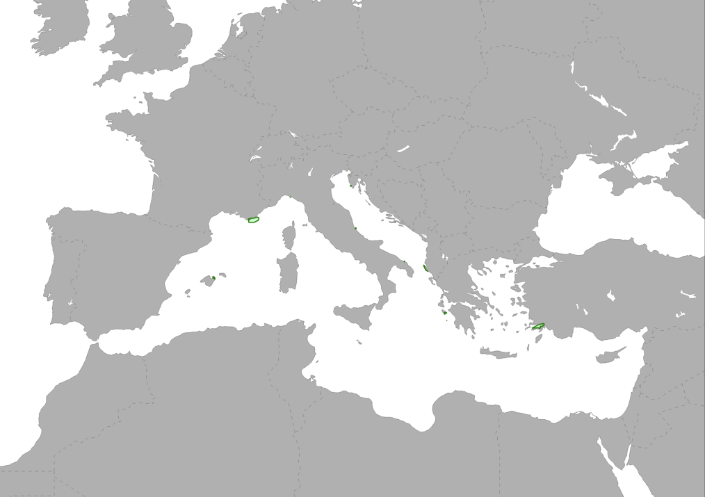
The layer shows type and location of pilot sites involved in MPA Networks project. MPA Networks is a project of the Biodiversity Protection Community funded by the Interreg Med Programme.