
Creation year
2021
3 record(s)
Type of resources
Available actions
Topics
Keywords
Contact for the resource
Provided by
Years
Formats
Representation types
Update frequencies
Status
Service types
Scale
panaceaKeywords
GEMET keywords
-
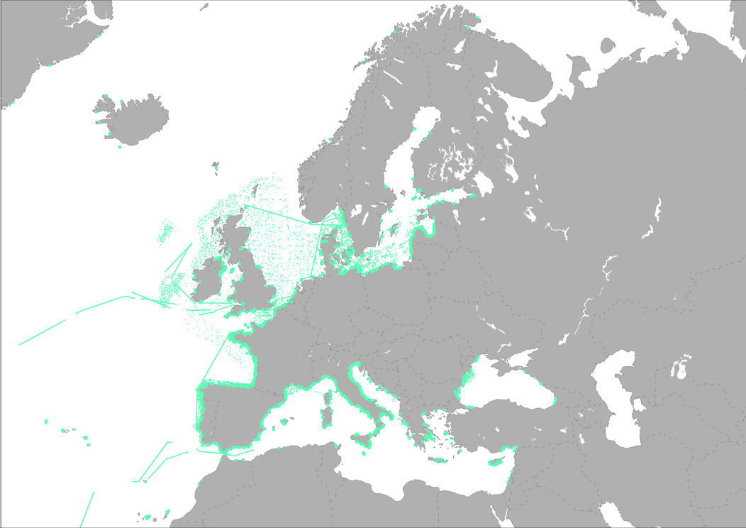
EMODnet Chemistry aims to provide access to marine chemistry data sets and derived data products concerning eutrophication, ocean acidification, contaminants and litter. The chosen parameters are relevant for the Marine Strategy Framework Directive (MSFD), in particular for descriptors 5, 8, 9 and 10. The dataset contains standardized, harmonized and validated data collections from beach litter (monitoring and other sources)..
-
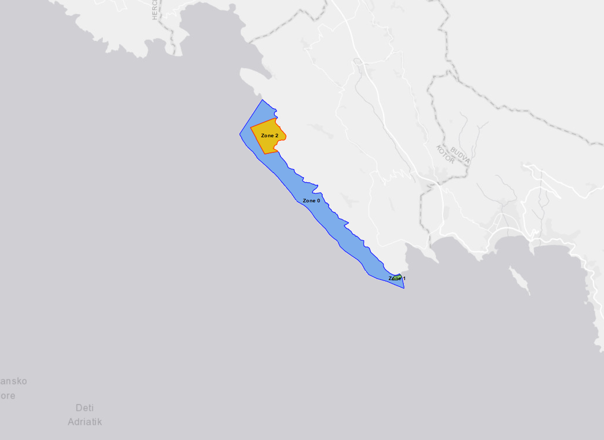
The layer shows the location of Platamuni, first Marine Protected Area in Montenegro which was declared on International Mother Earth Day, 22 April 2021. The Nature Park "Platamuni" is accommodated in the northwest part of the coastal waters in Montenegro, including associated coastline between the Cape Žabica in the northwest and Cape Platamuni in southeast near the beach Ploče. The main reason for proclaiming this first MPA in Montenegro is protecting its ecologically important marine and coastal species and habitats. The Platamuni area is characterized by its main marine cave at the south of Bigova, with at its entrance an extraordinary development of bio-constructions. It also hosts a vast Posidonia oceanica meadow on rock at the western side of Greben Kalafat, continuing by deep coralligenous assemblages on rock. The distribution of caves along the coastline ranges three protected areas: - Zone 0. Platamuni granica zasticenog podrucja - Zone 1. Platamuni II zona zastite morski dio Rt Platamuni - Zone 2. Platamuni II zona zastite morski dio This particular area has benefited in recent years from the support of UNEP/MAP-SPA/RAC, notably through regional projects on marine and coastal protected areas and key habitats mapping in the Mediterranean.
-
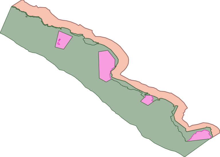
This dataset represents the coverate of the second Montenegro Marine Protected Area, the Nature Park "Katič" declared on the occasion of celebrating 30th anniversary of the adoption of the Declaration on the Ecological State of Montenegro. The "KaticThe Nature Park "Katič" covering 2744,93 hectares in both terrestrial and marine part, with 276.90 ha in the protection zone II, while 2468.29 ha in the protection zone III (out of which 2291.77 ha belong to the sea, and 176.52 ha to the land). A zone from the coastline of the MPA toward inland of 500m width defined as buffer but without any protection level.