Format
ShapeFile
44 record(s)
Type of resources
Available actions
Topics
Keywords
Contact for the resource
Provided by
Years
Formats
Representation types
Update frequencies
Status
Scale
panaceaKeywords
GEMET keywords
-
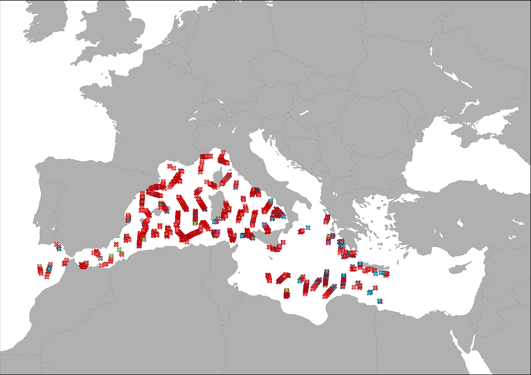
The data collected by a vessel survey organized within the ACCOBAMS agreement, is showing by point different sightings as Cetaceas, turtle, and fishes identified during the ACCOBAMS Survey Initiative (ASI) along the Mediterranean Sea.
-

The data collected by a vessel survey organized within the ACCOBAMS agreement, is showing by point different floating rubbish identified during the ACCOBAMS Survey Initiative (ASI) along the Mediterranean Sea.
-
This map represents the geographic distribution of the partners involved in the Interreg MED Biodiversity community of projects (period 2019-2022): BPP (Biodiversity Protection Project), MPA Engage, MPA NETWORKS, POSBEMED2 and TUNE UP.
-
The layer shows type and location of pilot sites involved in ACT4LITTER project. ACT4LITTER is a Study Project of the biodiversity protection community funded by the Interreg Med Programme. The ACT4LITTER project deals with “Joint measures to preserve natural ecosystems from marine litter in the Mediterranean protected areas”.
-
The layer shows type and location of pilot sites involved in EcoSustain project. EcosSustain is a Pilot Project of the biodiversity protection community funded by the Interreg Med Programme. The EcoSustain project deals with “Ecological sustainable Governance of Mediterranean protected areas via improved scientific, technical and managerial knowledge base”.
-
The layer shows type and location of pilot sites involved in AMAre project. AMAre is a Study Project + Pilot Project of the biodiversity protection community funded by the Interreg Med Programme. The AMAre project deals with “Actions for marine protected areas”.
-
The layer shows type and location of partners involved in POSBEMED 2 project.
-
.png)
This map represents the geographic distribution of the partners involved in the Interreg MED Biodiversity community of projects (period 2016-2019): ACT4LITTER, AMARE, CONFISH, ECOSUSTAIN, FISHMPABLUE2, MEDSEALITTER, MPA-ADAPT, PANACEA, PHAROS4MPAS, PLASTICBUSTER MPAS, POSBEMED, WETNET.
-
The layer shows type and location of partners involved in MPA Networks project.
-

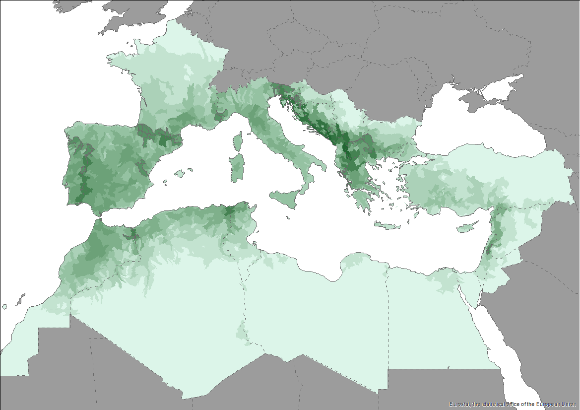
The Pan-Mediterranean wetland knowledge base builds on methods and approaches developed in the framework of on-going efforts at the Mediterranean scale to map wetland ecosystems and assess their condition. It is relevant for several on-going initiatives at a regional, European and global level (e.g. UN Decade on Ecosystem restoration, EU Biodiversity Strategy for 2030, the Barcelona Convention and its protocols on Integrated Coastal Zone Management and Specially Protected Areas). As part of these efforts, ETC-UMA produced an assessment that targets the distribution, state and trends of pressures and impacts on key animal and plant biodiversity hosted by wetland habitats in the Mediterranean region. The assessment of wetland biodiversity conditions aims to complement existing knowledge and address the lack of readily available spatially-explicit information on the areas where biodiversity unique to the Mediterranean occurs, and where endemic biodiversity is most threatened, using data from The Red List of Threatened Species™ of the International Union for Conservation of Nature (IUCN). For the threatened species analysis, only species categorised in the IUCN Red List as Critically Endangered (CR), Endangered (EN) and Vulnerable (VU) were considered. The goal is to highlight priority areas for potential conservation actions in the region, and to support the regional efforts in advocating for effective wetland management and nature-based solutions in the Mediterranean region.
