Keyword
MPA Networks project
3 record(s)
Type of resources
Available actions
Topics
Keywords
Contact for the resource
Provided by
Years
Formats
Representation types
Update frequencies
Status
Scale
panaceaKeywords
GEMET keywords
-
The layer shows type and location of partners involved in MPA Networks project.
-
The layer shows type and location of pilot sites involved in MPA Networks project. MPA Networks is a project of the Biodiversity Protection Community funded by the Interreg Med Programme.
-

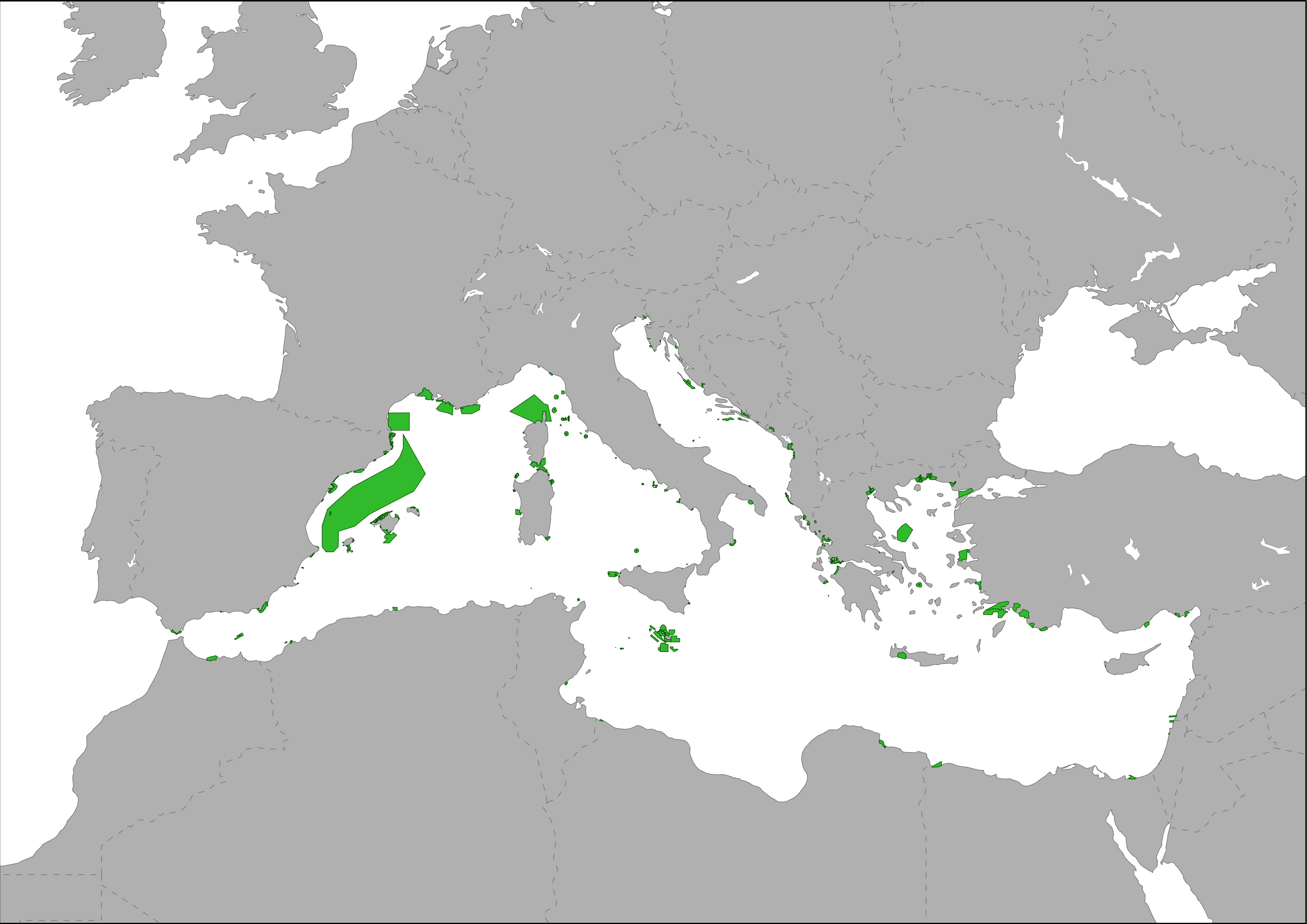
The global coverage of marine protected areas (MPAs) is 7.68%. The Global Ocean can be divided into areas within national jurisdiction (National Waters) and those in international waters (Areas Beyond National Jurisdiction (ABNJ)). MPAs can be more easily created by governments in national waters where there are dedicated legal systems in place. In ABNJ it is more difficult to create MPAs due to the complex legal framework in place. As such, the percentage of MPAs created within national waters is much higher than that for ABNJ. National waters represent 39% of the global ocean and at present, 17.86% of these waters are designated as protected areas. In contrast, only 1.18% of ABNJ, which makes up the remaining 61% of the global ocean, has been established as protected areas. At present, international discussions are underway to establish ways of simplifying the process to create MPAs in ABNJ. For more information on this, please see the DOALOS website. These areas are recollected into MAPAMED which is a cartographic database of key information on Mediterranean Marine Protected Areas (MPAs) potential Other Effective área-based Conservation Measure (OECMs), and more broadly on sites of interest for marine conservation. It is developed and administered jointly by UNEP/MAP-SPA/RAC and the MedPAN Association. For detailed information, please consult the MAPAMED user manual (April 2021 version).
